UGO @ night

July 24, 2007 (17:41 CET)

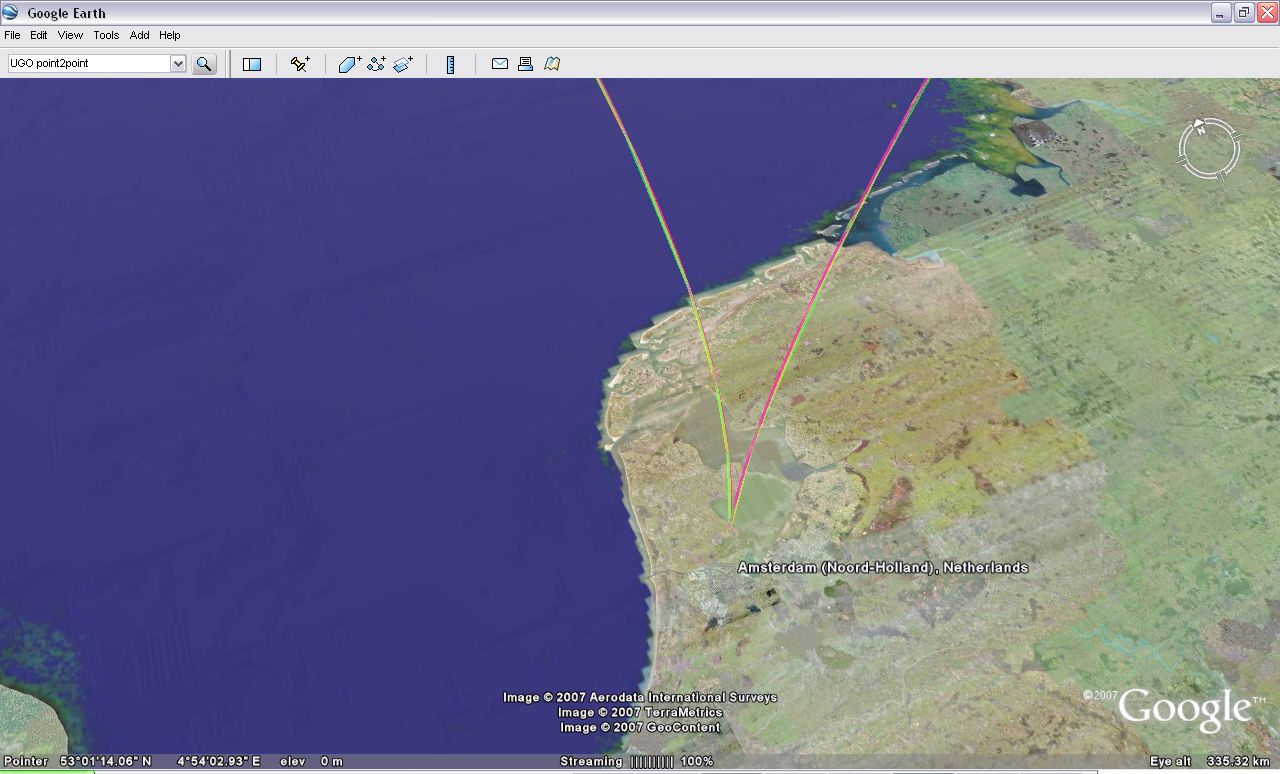
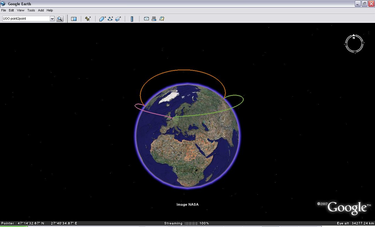
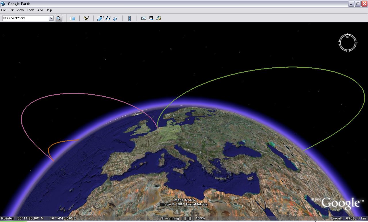
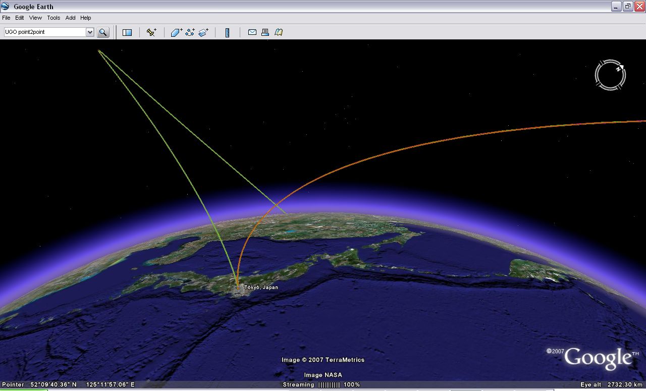
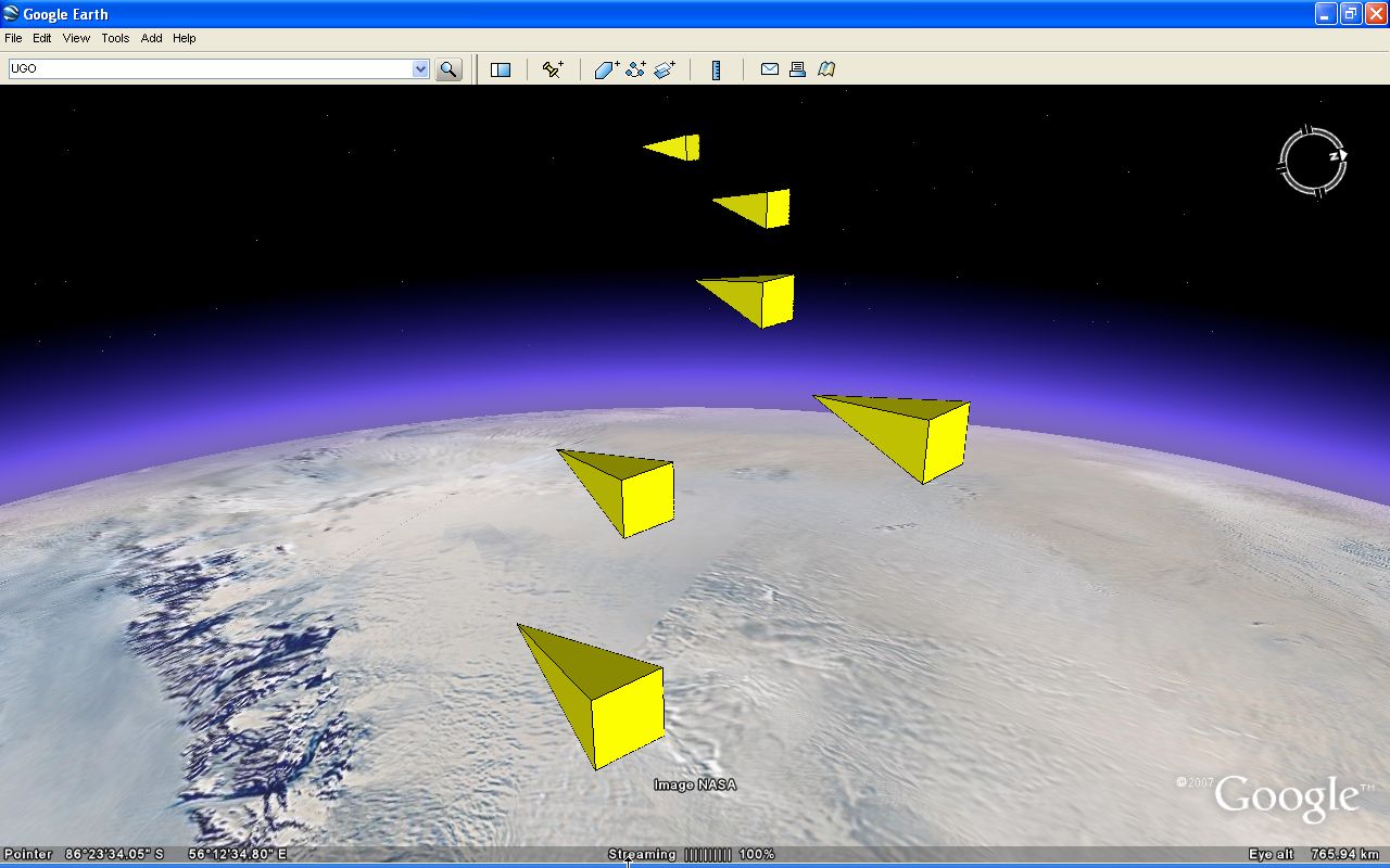
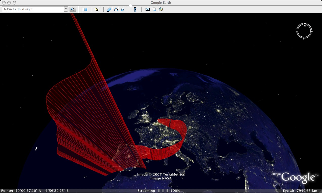
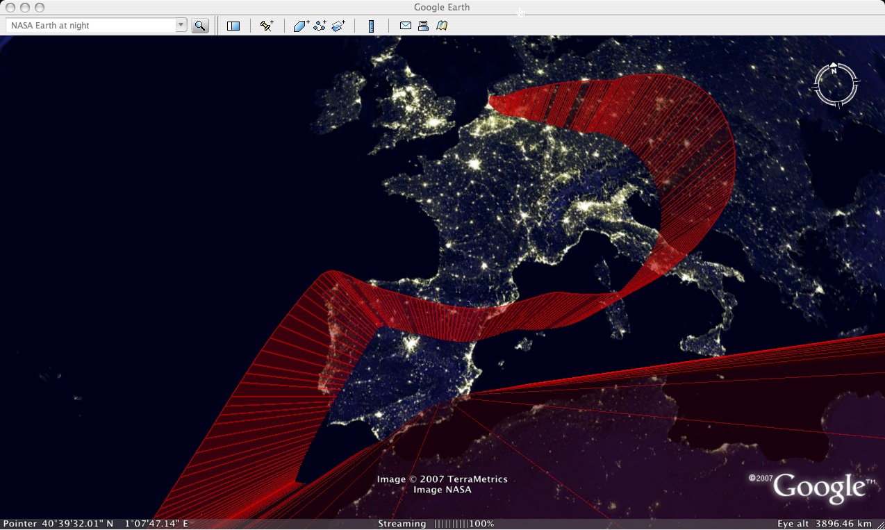
A couple of screendumps using the Earth city lights overlay in the new NASA layer in Google Earth. This layer is hidden inside the Featured Content layer (I lost the original .kmz file. Seems this was one of the tests using a networklink on the mac side, where, due to a bug, it updates 15 times a second, giving a nicely smooth UGO. Can't use it (yet) for the app though cause it would quickly overload the server)
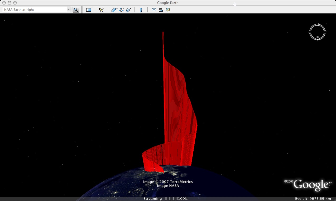
NASA%20Earth%20at%20night%202.jpg

NASA%20Earth%20at%20night.jpg

NASA%20Earth%20at%20night%201.jpg

UGO point2point

July 24, 2007 (15:46 CET)

The original UGO idea of visualising people's virtual travels in Google Earth (earlier post) is still intruiging me. Its for example quite instructive to see a visualisation of a GE-provided flightpath (Google Earth Orbit?) when flying from say Amsterdam to Tokyo. See this .kmz file for a visualisation of a tour around the world using such virtual point2point travel.

Point2point travel in the real world is considered one of the holy grails of suborbital spaceflight, so it seems only natural that we get used to this type of travel through a virtual interface like Google Earth before we eventually hop on a suborbital Virgin Galactic 1-hour flight from Amsterdam to Tokyo. The actual flightpath of the Virgin Galactic craft of course does not have to resemble the GE-provided flightpath cause the latter is not bound by physics. Would be interesting to do a comparison to see what the GE camera algorithms are based on.

Doing a Google on point2point, I happen to stumble on a new prize announced just a few weeks ago, the v-prize, for a Virginia2Europe point2point hypersonic suborbital spaceflight ;)


UGO%20point2point_3.jpg

UGO%20point2point.jpg

UGO%20point2point_7.jpg

UGO%20point2point_5.jpg

UGO%20point2point_6.jpg

UGO%20point2point_4.jpg

UGO work in progress

July 24, 2007 (15:12 CET)

Its been a while since I last reported in. Early July, I spent a full weekend working out a way to make the app give its position back to the user in realtime. That's more or less resolved now. Returning to my original python scripts, I came to understand that what I was making is basically a work-around for the GE-native networklink. The networklink feature was my first hunch back in May but pretty soon I found there are still some bugs with the update speed using such a networklink. That's one of the reasons I digressed to c# and a stand-alone GUI. During the weekend, I brought the python scripts back to life with C# simply sending over the GE data given through the API. With the python scripts back in place as cgi scripts on the server, I finally had the pleasure of simultaneously chasing a friend around Google's Earth late that Sunday evening.

From there, I have been playing with the app, looking at intuitive ways to use it. Later in the week, my old former collegue Jurryt Pietersma from NLR joined me in further developing the UGO idea. This is currently still ongoing. We'll be back with more...I've also yesterday got access to a new domain www.usergeneratedorbit.com. Its probably not gonna be the eventual name, but for now its a good ref.


UGO%20watching1.jpg


UGO%20monolith%20sculpture.jpg


UGO%20cgi1.jpg

Creating an installer for UGO

July 5, 2007 (01:48 CET)

Talking with David Massa, a product manager over at AGI who stumbled on my UGO blog, I find out c# doesn't give as quick a build as Delphi did. Given that STK is one of the original inspirations for UGO, I am happy to send over a draft UGO build, so I am just figuring out how VisualStudio will actually allow me to do that. Think I figured it out, just needs a quick 'to-be-sure' test tomorrow. Below is a quick throw-up of a couple of UGOs to test the VSsolution-build after installing. Btw, looking forward to that AGI blog David! (.kml file).

UGO%20installer.jpg

UGO%20installer1.jpg

Google Earth camera visualisation part II

June 24, 2007 (20:17 CET)

Along the same path as the previous post, this .kmz file shows a visualisation of the GE camera movement in the rare case you are planning a hiking trip from Stanford to Stockholm (including the swimming part ;)

swimmingacross.jpg

UGO%20hoppin.jpg

swimmingacross2.jpg


Google Earth camera visualisation

June 24, 2007 (19:11 CET)

One of my original motivations to program something like UGO was to be able to have a look at the smooth camera movements of the build-in GE camera when you play through a predefined list of placemarks (such as the default GE-tour or when you play through GE-provided driving directions). Using the current UGO version, I finally managed to get a respectable visualisation of this movement. Below .kmz file for example shows the camera movement while touring through GE-provided driving directions between Eindhoven and Amsterdam. Included in this .kmz file are the original driving directions of Google Earth and the extruded and non-extruded UGO visualisations. Its nice to finally see a visual representation of the peculiarities of the GE camera movement such as the slow retracting movement before diving towards the next focus point

driving_extruded.jpg

driving_extruded2.jpg

driving_non.jpg

driving_non2.jpg

UGO predator

June 24, 2007 (18:52 CET)

Aha, just found another interesting aspect of Google Earth / kml. Tweaking with the transparency level of various UGOs, it seems there is a treshold after which the extruded trajectory blocks the elements behind it (something that came up a while ago already). If you look at below .kmz file from the west, you'll see that the most forward UGO, which has a certain transparency, obscures the red lines behind it but keeps the green visible. Looking at the same bunch of UGOs from the east, the higher transparency of this particular UGO blocks everyting (.kmz file). What would be really cool is if the UGO surface starts acting like a mirror ;)

UGO%20predator%20from%20west.jpg

UGO%20predator%20from%20east.jpg

UGO%20predator3.jpg

Back to working on UGO

June 24, 2007 (17:15 CET)

I am back to the UGO c sharp code challenge. Seems to be getting closer. There are still some issues with the update speed of getting the coordinates through the API which I have a hard time resolving. For example, when you look at below .kmz file you'll notice the irregular pattern in some of the UGO's. To be continued...(.kmz file)

UGO%20c%20sharp.jpg

UGO%20c%20sharp4.jpg

UGO%20c%20sharp5.jpg

UGO%20c%20sharp6.jpg


Update: no real update

June 14, 2007 (02:19 CET)

Its been a couple of weeks since I reported back here. I had some other obligations the last couple of weeks (among which spending some time at the beach in Belgium last week), so not much news on the UGO front I'm afraid. Back in Amsterdam, I am getting back into the spirit of finishing the first version in c# and objective C (for the mac), so I am planning to make some progress over the weekend.

In the meantime, and in case you're not subscribed to my other blog, have a look at this video by NASA Ames Research Center Director Pete Worden, cause he gives an interesting hint at where things might be going in the not-too-distant future...(served with some Belgian Crop Circles:.kmz file).

UGO%20stk%20testing.jpg

UGO%20stk%20testing2.jpg

UGO%20stk%20testing3.jpg

Progressing with c#

May 31, 2007 (01:57 CET)

Mmm, this c# OOP paradigm is certainly a fine challenge, Python and Delphi were a smooth ride compared to this. I need to switch some buttons in my head to get this OOP stuff to work. Have spend quite some time already, reading, figuring it out, testing, reading again. And its getting there, but its going slow, and I also don't have the nights to spend like I had a couple of weeks ago so please bare with me while I finish the code and deliver you the beta. The slow down also stems from my needing to figure out what the beta should entail in terms of features. A nice addition I'd like to make is to have the UGO be created on the spot (as in real-time), but all this needs a bit of rework on the code...and that's confusing if I can't get the original one to be coded correctly first (no .kmz's this time).

UGO%20test.jpg

UGO%20test8.jpg

UGO%20test6.jpg


« 10 newer entries | 10 older entries »

Alexander van Dijk | email me

A blog about the development of User Generated Orbits in Google Earth

My other blog at tobedetermined!

| Subscribe by Email


www.flickr.com
Powered by
Movable Type 3.35