UGO on OSX: Status Update
August 6, 2007 (14:13 CET)
With summer finally catching on here in the Netherlands, I spent some time figuring out how to get UGO onto OSX. With Jurryt Pietersma now part of development, things have unmistakably become more Python-centric (not to say: Pythonic) so my aim with the Mac port is to use Python where possible.
First off: the Google Earth - Applescript API. Using OgleEarth's announcement as a starting point, it turns out to be fairly straightforward to read out Google Earth coordinates using GetViewInfo. Even better, these Applescript commands can also be called directly in Python without having to write too much Applescript code. Next: the GUI. Where I've used C# sofar to build a GUI on the PC side, Apple comes with XCode, Cocoa, Objective-C and ApplicationKit, so this will take some time to get into. Best thing to note at this point is that the PyObjC bridge will allow me to stay as close as possible to Python, using Xcode mainly as the IDE to develop the UI.
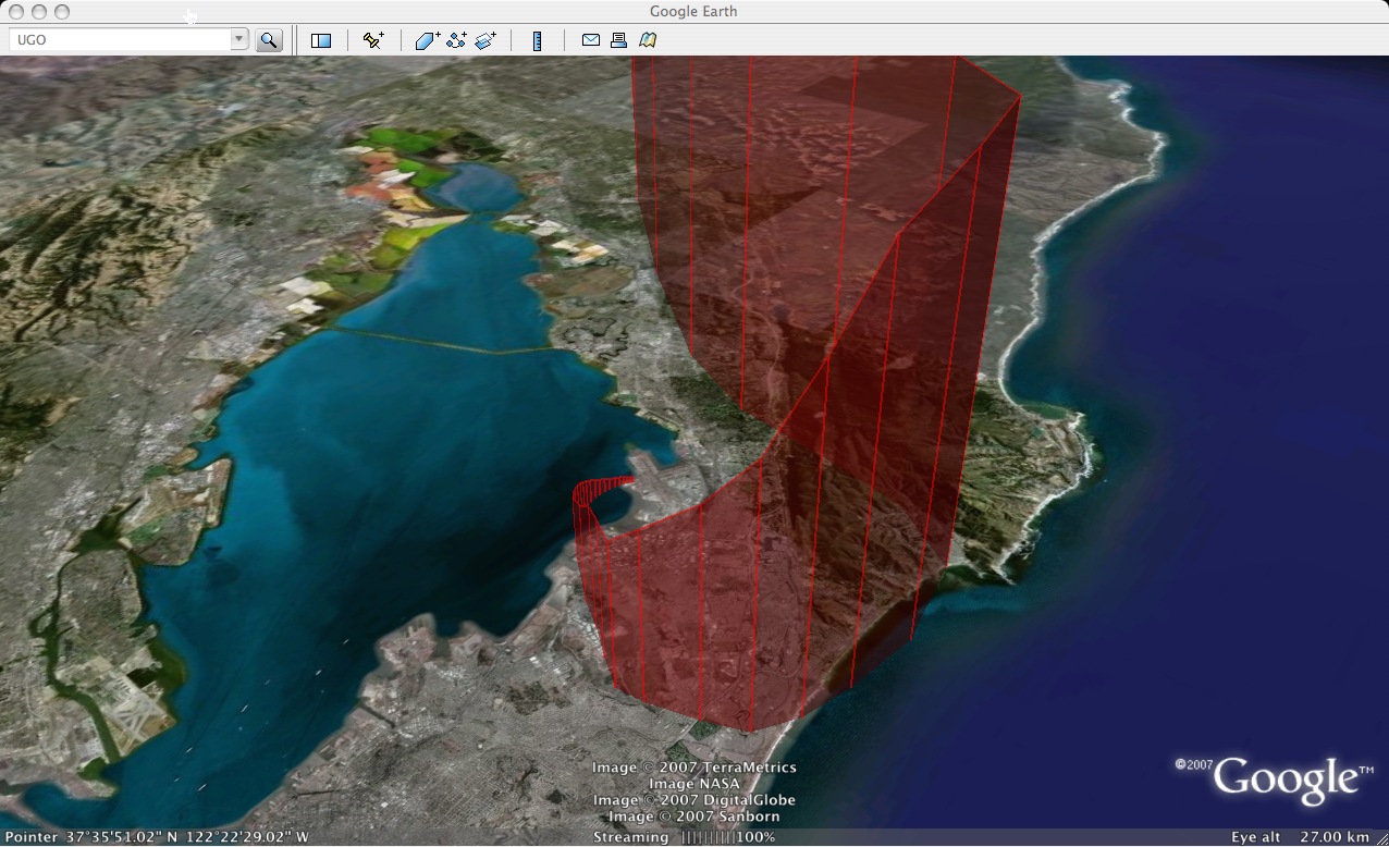
As an appetizer, this .kmz file shows the first UGO made on a Mac (see the difference? ;-)). Its generated with my original python script of 3 months ago, adapted to accommodate the Applescript API to read out the viewer's viewing coordinates. Building a OSX GUI around this script will be up next. Looking ahead, it seems the limited API functionality on the Mac side will be the main hurdle to get UGO running on OSX as we have it on Windows, but more on that later...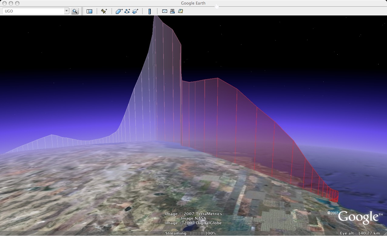
permalink
| Comments (0)
|
 del.icio.us
|
del.icio.us
|
 digg
|
digg
|
 furl
|
furl
|
 Yahoo!